




Bhopal Bureau
Summary: Cyclone Murasu, rising over the Bay of Bengal, is set to cross the Andhra Pradesh coast tonight, and its influence will keep rain and thunderstorm activity alive over Madhya Pradesh until 5 November. A yellow alert covers 15 districts on Monday, even as maximum temperatures have fallen by up to 8 degrees in four days and cold nights have arrived.
November has begun in Madhya Pradesh with two faces of weather at once. On one side, Cyclone Murasu is pushing moisture and a spell of rain towards the state from the Bay of Bengal. On the other, maximum temperatures have dropped by 7 to 8 degrees in just four days, giving nights a distinctly cold feel. The weather office expects this mixed spell to continue until 5 November, after which cold conditions are likely to strengthen further in the second week of November.
Monday will see the most active weather over the eastern and south-eastern parts of the state. Districts of the Jabalpur division face warnings of strong winds with rain, while Bhopal, Ujjain, Gwalior, Chambal and Sagar divisions are likely to stay cloudy with a chance of light drizzle at a few places. In short, one part of the state gets rain while another gets cold winds and morning mist.
Where Murasu is and when it will hit the coast
According to the weather office, a deep depression over the south-west and adjoining west-central Bay of Bengal has intensified into Cyclonic Storm Murasu. On Monday morning, the storm lay about 260 kilometres from Chennai and about 290 kilometres from Nellore, moving forward at around 20 kilometres per hour.
It is expected to strengthen into a severe cyclonic storm during Monday and cross the south Andhra Pradesh coast between Nellore and Narsapur during the night of 2 November and the early hours of 3 November. Wind speeds at landfall could reach 100 to 110 kilometres per hour. A rise of about one metre in sea level is also expected along the coast, raising the risk of waterlogging in low-lying coastal areas.
Murasu’s influence will not be limited to Andhra Pradesh. Its effect is expected to bring rain and thunderstorms to several states, including Chhattisgarh, Odisha, Tamil Nadu, Kerala, Telangana, Karnataka and Maharashtra. In Madhya Pradesh, the impact will be felt mainly in the Jabalpur, Rewa, Shahdol, Narmadapuram and Indore divisions.
The 15 districts under Monday’s rain and storm alert
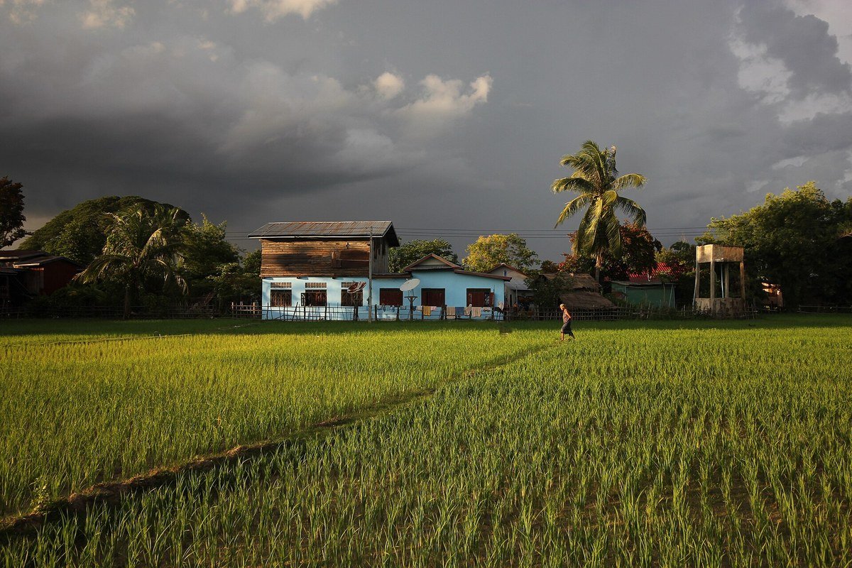
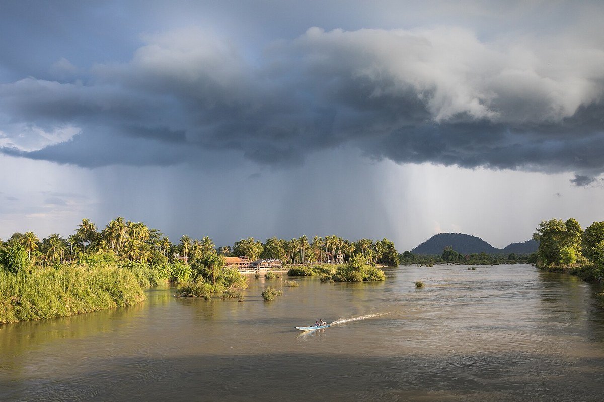
The weather office has issued a yellow alert for 15 districts for Monday, 2 November, warning of light to moderate rain with thunder and lightning and strong winds at places. The districts are Jabalpur, Narsinghpur, Chhindwara, Pandhurna, Seoni, Balaghat, Mandla, Dindori, Katni, Umaria, Anuppur, Shahdol, Maihar, Sidhi and Singrauli.
People in these districts have been advised to stay alert. During thunder and lightning, one should avoid open fields, standing under trees or near electricity poles. Farmers have been advised to cover harvested produce kept in the open so that a sudden spell of rain does not cause damage.
Sunday also saw changed weather over several eastern districts. Singrauli, Sidhi, Rewa, Mauganj, Satna, Anuppur, Shahdol, Umaria, Dindori, Chhindwara, Seoni, Mandla, Balaghat, Maihar and Pandhurna recorded thunder and drizzle at places. That spell was linked to the earlier Cyclone Arnab, and Murasu now brings a fresh round of activity.
Temperatures down by up to 8 degrees, nights turn cold
Along with rain, cold is also making its presence felt across the state. Maximum temperatures have fallen by 7 to 8 degrees in four days. In the last 48 hours, maximum temperatures in the Chambal, Rewa, Shahdol and Sagar divisions fell by 5.3 to 7.7 degrees, while Bhopal, Indore, Gwalior, Ujjain, Jabalpur and Narmadapuram divisions recorded a fall of up to 4.9 degrees.
Night temperatures are also running below normal. Last night, Damoh recorded a minimum of 14.5 degrees Celsius, the lowest in the state. Amarkantak recorded 15.1 degrees, Bhopal 15.2 degrees, Girwar in Shahjapur 15.4 degrees and Malajkhand in Balaghat 15.8 degrees. Bhopal’s minimum was 4.4 degrees below normal, while Indore’s night temperature of 16 degrees was 3.5 degrees below normal.
Day temperatures stood at 28.5 degrees in Bhopal, 30 degrees in Indore and 31.5 degrees in Ujjain. Pachmarhi recorded a daytime high of only 24 degrees, while Sagar and Mandla recorded night temperatures of 17.5 degrees and Satna 20.7 degrees. It is clear that hilly and eastern areas are feeling the cold earlier than the plains.
What the weather looks like in Bhopal, Indore and Ujjain
In the capital Bhopal, Monday is likely to stay cloudy, but there is no warning of heavy rain. Bhopal recorded a day temperature of 28.5 degrees and a night temperature of 15.2 degrees, and nights are expected to get colder in the coming days. Light morning mist is also possible.
Indore recorded a day temperature of 30 degrees and a night temperature of 16 degrees. The Indore division may see clouds and light drizzle under Murasu’s influence, but the strong rain warning is limited to the eastern districts. Ujjain recorded a night temperature of 17 degrees and is also expected to stay cloudy.
In Vidisha, morning visibility dropped to 50 metres, showing that fog has also begun to affect the state. Drivers have been advised to go slow in the morning and use fog lights. From the second week of November, temperatures in the Gwalior-Chambal region are expected to fall sharply, adding to the chill.
How the weather will behave until 5 November
According to the weather office, the mixed spell of wind and rain will continue in the state until 5 November. Eastern districts will have a higher chance of thunder and rain, while western and central parts are likely to stay relatively clear. From the second week of November, the cold is expected to intensify further.
Records of the last ten years show that Bhopal has received November rainfall three times, so a rain alert at the start of this month is not unusual. Weather systems could also bring rain in the third and fourth weeks of November. Farmers and travellers have been advised to keep an eye on the latest weather warnings and plan journeys accordingly.
What this means ahead of Diwali
Diwali falls on 8 November, and this change in weather just before the festival could affect both shopping and travel. Rain in eastern districts could mean slippery roads and crowded markets, while cold nights are already pushing up demand for warm clothing.
North India, including Delhi, is also going through a spell of poor air quality, but rain and cold winds in Madhya Pradesh are expected to bring some relief to air quality here. Even so, caution is needed on misty and foggy mornings, especially for children, the elderly and people with breathing problems.
Precautions: what to do and what to avoid
Staying indoors during thunder and lightning is the safest option. Avoid keeping electrical appliances unnecessarily switched on, and do not stand near mobile towers, trees or electricity poles in open areas. During strong winds, do not park vehicles under weak tin sheds, hoardings or trees.
For farmers, this is the time to protect standing crops and harvested produce. Keep tarpaulin ready to cover produce being taken to mandis, and make arrangements to protect animals from cold winds at night as temperatures fall.
The weather office has said that its official website should be followed for the latest updates, because changes in the cyclone’s direction and speed could also change the alerts for districts.
Disclaimer: This story has been prepared on the basis of available sources and verification. If any fact is found incorrect, a correction will be published.